
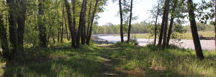
The Sheep River is part of what makes Okotoks home. Understanding its potential risks and planning carefully for development near the river is essential to protecting our community’s future. Following last night’s public hearing, Council approved updates to the Town's Municipal Development Plan and Land Use Bylaw that strengthen long-term flood resilience, support public safety and provide greater clarity for property owners and developers.
The changes align the Town's planning policies and development requirements with current provincial flood hazard mapping for the Sheep River Sub-Basin. For property owners, the amendments provide clearer information about what may be required when developing, redeveloping, rebuilding, or changing the use of a property located within a flood hazard area.
Flood risk is not the same in every location. The updated approach recognizes these differences by applying development requirements that reflect the level of risk in each area.
"Our river is an important part of our community, and planning thoughtfully for flood risk is important to Okotoks’ future,” said Mayor Tanya Thorn. “These updates provide property owners with clearer information about flood risk and ensure development requirements are applied consistently as our community changes."
What does this mean for existing properties?
The amendments do not require existing buildings in flood hazard areas be removed. The updated requirements apply when a property owner proposes new development, redevelopment, reconstruction, replacement of a building, or a change in land use.
Depending on the property’s flood hazard designation and the nature of the proposed project, applicants may be required to demonstrate how their plans address flood risk, public safety, emergency access and building design measures that can improve resilience to flooding.
How will development decisions be made?
The updated policies reflect the four flood hazard areas identified in the province's current flood mapping:
- Floodway
- Flood Fringe
- High Hazard Flood Fringe
- Protected Flood Fringe
Each designation represents different flood conditions and levels of risk, with corresponding development requirements.
The amendments focus on managing flood risk along the Sheep River by providing clearer direction on where development may be appropriate and what measures may be required to reduce potential flood damage and protect public safety. The updates were informed by provincial flood hazard mapping, technical analysis and community engagement.
Feedback received through online resources, engagement opportunities and discussions with affected property owners and other impacted parties helped inform the final approach. To learn more about the approved amendments and review the flood hazard information, visit Flood Hazard Policy Updates | Shape Our Town Okotoks or www.okotoks.ca/flood-policy-updates