
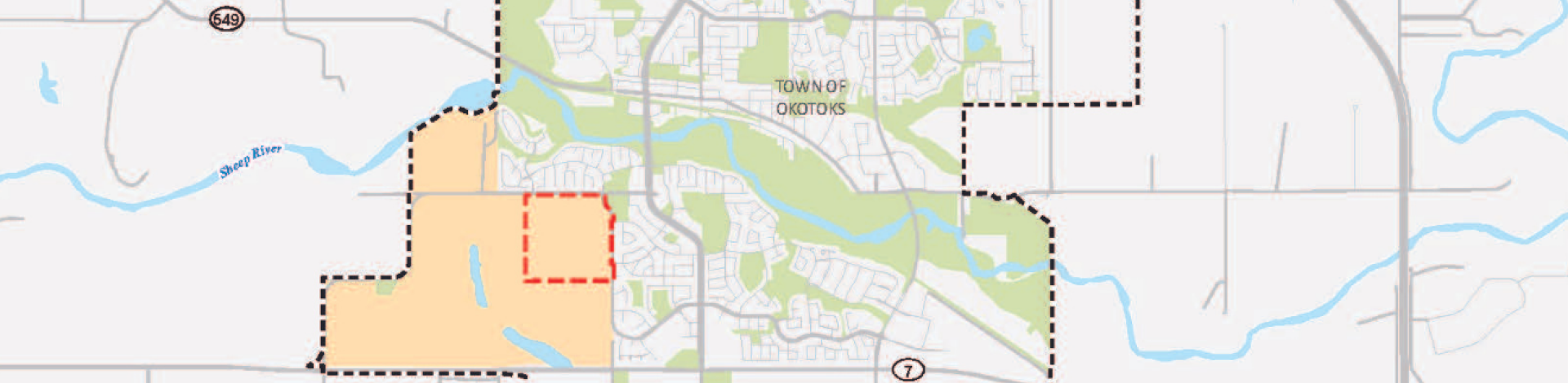
The Town of Okotoks has approved the Tillotson Neighbourhood Area Structure Plan (NASP) for approximately 64.31 hectares (158.91 acres) of land in southwest Okotoks, south of Big Rock Trail and west of Westland Street. The Tillotson NASP is identified as the first phase of neighbourhood development within the existing approved West Okotoks Area Structure Plan, that was adopted by Council in April 2020.
NASP Overview
The Tillotson NASP describes the overall pattern of development and will guide future land use, subdivision, infrastructure and development within the plan area. The draft plan includes details on a range of matters including:
- Housing distribution, density and projected population
- Neighbourhood hub design
- Open space network and conceptual programing
- Future school site
- Preservation of natural areas
- Pedestrian and vehicular circulation
- Water, sanitary and stormwater utility servicing systems
- Development phasing within the plan area
- Architectural themes
- Public realm features
View the adopted version of the NASP
Project timeline - Downloadable


This is a developer funded Neighbourhood Area Structure Plan, sponsored by Tristar Communities. Click the button below to learn more about the project.